
Satellite Ephemeris
Broadcast orbital information used by a receiver to estimate where each tracked satellite was when its signal was transmitted.
- It ages over time
- Acquisition must decode it
- Bad geometry remains separate
A GPS navigation device begins with radio signals whose timing lets the receiver estimate distance from satellites at known orbital positions. Because the receiver clock is not synchronized like an atomic clock, it solves position and clock bias together from multiple measurements rather than drawing one perfect circle on a map.
That position is only the first product. Navigation software compares it with mapped roads, evaluates a road network against destination and preference constraints, converts the chosen path into maneuvers, and presents the next useful instruction. Reception, positioning, maps, routing, and guidance are separate layers, so one can be wrong while the others still operate.
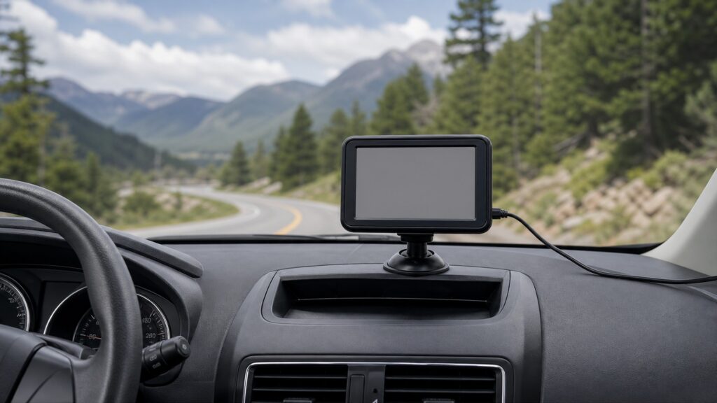
The mechanism follows six transformations: receive timed signals, estimate ranges, solve position, infer the road, search a route, and deliver maneuvers with uncertainty visible.
Tip: When guidance looks wrong, identify the earliest incorrect layer before blaming GPS, the map, or the route algorithm as one combined cause.
These terms distinguish the radio-positioning engine from the map and routing software built around it.
Broadcast orbital information used by a receiver to estimate where each tracked satellite was when its signal was transmitted.
A distance-like measurement derived from signal travel time that still includes receiver clock error and other measurement effects.
The receiver clock offset solved alongside position because tiny timing errors would otherwise create large range errors.
The receiver's estimated latitude, longitude, altitude, time, velocity, and uncertainty derived from available measurements and models.
The process of comparing an estimated position and movement with nearby mapped roads to infer the most plausible road and direction.
A digital network of road segments and connections carrying attributes such as direction, restriction, class, and estimated traversal cost.
Tip: A complete diagnosis names the coordinate, road hypothesis, planned path, and presented maneuver separately.
Each tracked satellite transmits a coded signal and navigation message. The receiver correlates that code, estimates when the signal arrived, and combines travel time with satellite position information to form a pseudorange measurement rather than a finished location.
The radio front end produces measurements with uncertainty, not turn-by-turn directions.
The solver finds the position and clock bias most consistent with the available pseudoranges. Extra satellites can improve geometry, detect inconsistency, and sustain a solution, while blockages, reflections, atmosphere, interference, and receiver design affect real-world accuracy.
A coordinate is an estimate whose confidence depends on both signal conditions and the model.
Raw position may fall beside a road or between parallel levels. Software weighs distance, heading, speed, recent path, road connectivity, and measurement uncertainty to select a likely segment without pretending the satellite signal contains street names.
The map layer interprets position; it does not improve the underlying radio measurement.
The routing engine searches connected road segments while applying one-way rules, turn restrictions, access limits, avoidances, estimated time, distance, or vehicle profile. Traffic data may change edge costs, but incomplete attributes can still produce an unsuitable recommendation.
A route is a calculated preference through modeled roads, not proof that every segment is currently usable.
The device converts the route into upcoming actions, estimates progress, chooses when to show or speak each instruction, and compares continued position with the planned path. If movement diverges, it updates the road hypothesis and searches again.
Navigation remains a loop because position, road state, and driver action continue changing.
Satellite signals do not contain business listings, speed limits, closures, street names, routing preferences, or a guarantee that a mapped road is open and suitable.
Timed ranging supports position, velocity, and time estimates across the receiver's observed sky.
Quality indicators can expose weak geometry, blockage, or loss of tracking.
Map providers encode roads, addresses, restrictions, and points of interest separately from GPS.
Routing software selects a modeled path; signs and actual road conditions remain authoritative.
These myths collapse radio reception, digital maps, route computation, and driver judgment into one infallible service.
A teaching diagram may show three distances, but a consumer receiver also has clock bias and measurement error. Multiple satellite observations, usable geometry, models, and consistency checks are needed for a practical three-dimensional navigation solution.
GPS satellites broadcast timing and orbital information, not street names, traffic, destinations, or turns. The receiver estimates position; separate map data and routing software infer the road and calculate a preferred path.
Map matching can snap an uncertain coordinate onto a plausible road, especially when nearby roads run parallel. The clean graphic may conceal radio uncertainty, map error, or a wrong road hypothesis until movement provides better evidence.
Recalculation can follow a deliberate turn, missed maneuver, changed traffic cost, map mismatch, or corrected road hypothesis while satellite tracking remains healthy. Check position quality and map placement before assigning the event to reception.
Tip: Locate the layer that created the questionable output.
These answers clarify satellite count, offline use, tunnels, wrong roads, and the difference between position and guidance accuracy.
The receiver must find signals, establish timing, and obtain enough current satellite information for a usable solution. Time varies with sky view, elapsed time, prior location, stored assistance data, receiver design, and local interference.
Yes, if the device has usable satellite reception, onboard maps, and a routing engine for the needed region. Cellular data may add traffic, searches, corrections, or assistance, but the exact offline capability depends on the product.
Satellite measurements may weaken or disappear. Some systems coast using speed, inertial sensors, vehicle data, and the mapped tunnel, but uncertainty grows. Honest guidance should indicate degraded positioning and recover after signals return.
Signal blockage, reflections, poor satellite geometry, map offsets, parallel roads, or an incorrect heading can make another segment appear more plausible. Continued motion often helps map matching recover, but the driver should follow actual signs.
Compare the raw position-quality indication, sky conditions, motion, and coordinate behavior with the mapped road. A stable offset or missing road suggests map data; wandering or degraded status points toward positioning conditions or reception.
A GPS navigation device measures timed satellite signals, solves position and clock bias, maps that estimate onto a road network, searches a constrained path, and converts it into timed maneuvers.
Its clear display can hide uncertainty created at any layer. Diagnose reception, solution quality, map matching, route data, and guidance timing separately, and let road signs and direct observation override unsuitable instructions.
These explainers apply the positioning-and-routing chain to installation compatibility, state-based acceptance, maintenance, and safe use.
Match antenna view, mounting, power, maps, interfaces, audio, and driver geometry to the vehicle.
Define acquisition, routing, guidance, recalculation, connectivity, and fallback as testable operating states.
Audit sightlines, interaction demand, unsuitable routing, stale data, and loss of position as separate hazards.
Choose a retailer
Prices checked regularly. We may earn a commission at no cost to you.