
Road Sightline
The driver's unobstructed visual access to relevant roadway, traffic control, mirrors, instruments, and emerging hazards.
- Angular obstruction matters
- Eye position changes it
- Mounts and cables contribute
A GPS navigator can reduce uncertainty by organizing a route and presenting the next maneuver, but it can also add risk when placement blocks the road, interaction consumes attention, prompts arrive ambiguously, or an unsuitable route is followed despite visible signs. Safety depends on the whole use system.
The same is true of technical failure. Weak reception, reflected signals, stale maps, incorrect profiles, loose mounts, unreliable power, and cabin heat can each degrade guidance differently. Safe operation does not require pretending navigation is infallible. It requires visible limits, low-demand interaction, secure installation, independent observation, and a practical fallback whenever the displayed road story stops matching reality.
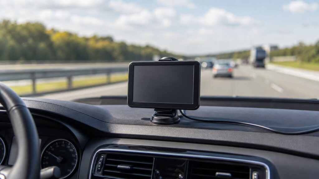
The safety model follows hazards from physical placement and task demand through navigation data, radio uncertainty, hardware retention, and the driver's response to degraded guidance.
Tip: Treat guidance as one advisory input. If signs, barriers, road geometry, weather, or vehicle limits disagree, slow down safely and follow authoritative real-world information.
These definitions separate hazards that are often bundled into the vague instruction to use navigation carefully.
The driver's unobstructed visual access to relevant roadway, traffic control, mirrors, instruments, and emerging hazards.
The visual attention needed to find, read, understand, and confirm navigation information during a task.
The degree to which a proposed path matches actual access, vehicle limits, restrictions, road conditions, and the driver's competence.
The estimated and unmodeled error around a reported location caused by geometry, blockage, reflections, atmosphere, interference, and receiver design.
Retention that maintains the accepted viewing geometry under vibration, heat, adjustment, braking, and foreseeable vehicle motion.
An independent method or plan for continuing safely when position, maps, power, connectivity, or guidance becomes unavailable or implausible.
Tip: Assign each hazard its own preventive control and recovery action.
Device size, mount location, driver eye point, cable loops, adjustment travel, and airbag zones define physical risk. A secure attachment in the wrong place can still obscure pedestrians, signals, mirrors, or instruments; an ideal view with weak retention can become a projectile.
Visibility and retention are independent safety gates, and both must pass.
Text entry, search-result review, map panning, multi-stop editing, and menu exploration compete with visual, manual, and cognitive driving tasks. During motion, the interface should keep current guidance concise, timely, interruptible, and easy to ignore when the road demands attention.
A useful route never makes prolonged screen interaction compatible with driving.
Routing uses modeled roads and attributes that may be incomplete, outdated, or unsuitable for current conditions. Vehicle profiles help only when supported and entered correctly. The driver must reject guidance toward closed, restricted, flooded, unmaintained, or physically incompatible roads.
The route line is a proposal through data, not authority over the road.
Buildings, bridges, trees, tunnels, atmospheric effects, reflected signals, jamming, and receiver limitations can degrade position. Map matching may snap the estimate onto a plausible segment, making uncertainty less obvious than the clean graphic suggests.
Safe use keeps the possibility of wrong placement visible even when rendering looks precise.
An outlet can switch off, a connector can loosen, a battery can fail, heat can shut down electronics, maps can be unavailable, or live data can lapse. The response should avoid abrupt distraction, expose degraded state, and leave the driver with a simple backup plan.
Fallback is successful when uncertainty decreases rather than provoking hurried interaction.
Clear maneuvers can reduce search and uncertainty, but route data, radio position, presentation, environment, and driver interpretation all retain limits.
Safe placement, parked setup, concise prompts, correct profiles, visible status, secure power, and independent route checks address different hazards.
A prepared fallback prevents technical loss from becoming an attention emergency.
It cannot see every temporary closure, surface condition, low obstacle, emergency direction, or local restriction.
It cannot determine whether the driver can safely act at that moment.
These myths turn convenience, voice, factory appearance, or profile data into an unlimited safety claim.
Speech can reduce visual demand, but listening, interpreting, correcting recognition, and confirming an ambiguous instruction still use attention. Keep interactions short, ignore nonessential prompts when needed, and pull over before resolving complex route problems.
A compact object close to the eye can hide a much larger distant area, including a pedestrian, cyclist, signal, or vehicle. Evaluate its angular footprint from each driver position, not only its physical dimensions.
Profiles rely on supported attributes, correct inputs, and complete map data. Missing bridge heights, temporary limits, construction, local rules, or road conditions remain possible. Verify critical constraints and obey every posted restriction.
Graphics and map matching can place an uncertain estimate neatly on a road. Signal blockage, reflections, geometry, interference, or map offsets can still select the wrong parallel segment. Check status and real surroundings.
Tip: Give real-world observation and authoritative signs final priority.
These answers address mounting, destination entry, unsafe routing, lost reception, and preparation for degraded operation.
Inspect from every regular eye position and consider the distant roadway hidden behind the device, cradle, and cable. Check mirrors, instruments, signals, wiper area, cameras, controls, and airbags against vehicle guidance and local rules.
No assumption makes a complex visual-manual task safe merely because the vehicle is temporarily stopped in traffic. Configure before departure or park in a safe location; use only permitted low-demand interactions while driving.
Do not make an abrupt maneuver. Continue or stop safely according to actual conditions, obey signs and barriers, verify the vehicle and route constraints, then revise the destination, profile, avoidances, or map information while parked.
It should show degraded or unavailable position, avoid presenting stale placement as certain, preserve any safe route context, and recover predictably. Sensor-assisted estimates may continue briefly, but growing uncertainty must not be concealed.
Store required offline maps, review the route and critical restrictions, note key road names or exits, carry suitable independent directions, maintain power options, and know safe stopping locations. Critical travel warrants more redundancy than routine commuting.
GPS-navigation safety matters because sightlines, retention, interaction demand, route suitability, position uncertainty, power, heat, data freshness, and fallback can fail independently.
Mount securely without obstruction, configure while parked, treat routing as advisory, monitor degraded state, and keep a simple alternative. When the screen conflicts with the road, the road and authoritative signs win.
These explainers apply the safety model to installation geometry, navigation contracts, maintenance, and the radio-to-route mechanism.
Match antenna view, mount geometry, power, maps, profile, prompts, heat, and service access to the exact vehicle.
Test position readiness, route calculation, prompt timing, traffic state, recalculation, and fallback explicitly.
Separate route guidance from video evidence so a camera or recording feature is never mistaken for navigation certainty.
Choose a retailer
Prices checked regularly. We may earn a commission at no cost to you.