
Present Position
A current estimate of location, velocity, time, and uncertainty derived from satellite and other available measurements.
- It can be degraded
- Map matching interprets it
- It changes continuously
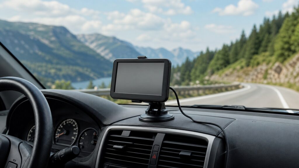
A GPS navigation device estimates where the vehicle is now, relates that estimate to a digital road model, and recommends a path toward a chosen destination. It projects forward: the important artifact is the next useful maneuver and the route state that supports it.
A dash camera looks outward and preserves what its sensor observed over time. It projects backward: the important artifact is a retrievable video segment after an event. A product may display a camera preview, record the road, and run navigation in one enclosure, but mapped possibilities and captured pixels remain different information. One supports a future decision; the other preserves a partial past view.
The comparison follows information source, time direction, uncertainty, storage, interaction, failure, and the artifact required after the drive.
Tip: Ask whether the unmet need is a timely recommendation before the maneuver or a preserved observation afterward; the answer identifies the primary system.
These definitions distinguish computed route state from a stored sensor record.
A current estimate of location, velocity, time, and uncertainty derived from satellite and other available measurements.
A computed sequence of mapped road segments and costs expected to reach a destination under selected constraints.
A timed instruction derived from route progress that tells the driver about an upcoming supported action.
Conversion of light within a camera's field of view into a timed sequence of image frames.
A discrete encoded file containing a bounded interval of captured frames and associated timing or metadata.
The period of ordinary recorded history likely to remain before overwrite, deletion, storage failure, or user action removes it.
Tip: Do not let a shared map screen or camera lens blur the time direction of each promise.
The navigator receives timed satellite signals and reads map attributes, then infers a road position and possible path. The camera converts only the scene entering its lens into frames. Street rules may exist in the map even when invisible; visible signs may be absent from route data.
The systems describe the road through different evidence and therefore make different mistakes.
Navigation continuously asks what maneuver should follow if the route remains valid. Recording continually saves recent observation so an earlier event can be reconstructed later. Route value expires quickly; video value often appears only after the scene has passed.
Opposite time directions explain why low-latency guidance and durable files dominate different designs.
A navigator presents prioritized visual and spoken information and may accept destination or route changes, preferably while parked for complex tasks. A configured dash camera should capture with minimal driving interaction, leaving review and export until the vehicle is safely stopped.
Interaction is part of navigation service but a continuity risk for recording.
Map errors, poor position, unsuitable profiles, or stale traffic can produce incorrect guidance that looks polished. A recorder can show preview while storage fails. Navigation needs position, map, and route checks; recording needs opened files across time boundaries.
Confidence must come from the promised artifact, not interface polish.
A navigation unit with a camera may show live video, calculate routes, and record simultaneously. The navigation branch manages position, map matching, route, and maneuvers; the recording branch manages encoding, storage, overwrite, protection, and retrieval. Either can fail alone.
Integration reduces boxes but doubles the need to name functional ownership clearly.
Maps can encode roads beyond the camera view and become outdated; video can show actual pixels yet omit everything outside its field, exposure, resolution, and recording interval.
Where am I likely to be, which modeled path fits the destination, and what action is expected next?
Its output can adapt before the trip is complete.
What appeared within the recorded field during retained time, subject to image quality and file integrity?
It does not calculate a suitable route or reveal unrecorded context.
These myths confuse forecast with observation, preview with storage, or combination hardware with a single information system.
Video may show the road actually taken, but it does not reveal the complete map graph, alternative costs, restrictions database, destination settings, traffic inputs, or position uncertainty used to calculate the recommendation.
A route history or breadcrumb is structured location data, not continuous scene video. It may omit visual events, traffic signals, weather, other vehicles, and anything outside its logging policy or positioning accuracy.
Live preview and camera presence do not prove encoding, timestamps, file closure, storage health, overwrite policy, event protection, or export. Retrieve actual segments and test continuity independently from position and route operation.
Footage documents a limited past view; it cannot supply a searchable road network, new connections, turn restrictions, addresses, route costs, or destination data. Navigation still depends on maintained maps and software.
Tip: Test the route and the record independently.
These answers clarify travel history, combined devices, wrong guidance, file proof, and which system should receive priority.
No. A history log may store times and coordinates, while a dash camera stores encoded images and perhaps audio from a defined field. Each can have gaps, errors, privacy implications, and limits on what it proves.
Yes, if the exact hardware and software support both under the intended power, thermal, storage, and camera conditions. Verify route guidance and retrieve continuous files separately; simultaneous icons do not prove both pipelines remained healthy.
Start with navigation: position quality, map matching, destination, map version, road restrictions, traffic, vehicle profile, route preferences, and maneuver timing. Camera hardware cannot correct the route, although footage may help reconstruct what was displayed or encountered.
Only the recording path can provide that evidence. Locate and open the relevant file, verify time, coverage, continuity, and export, then preserve the original appropriately. A navigation trace or live preview does not establish recorded video.
Protect safe placement, power, and required vehicle functions first. Then test current position, route, maneuvers, and fallback as one chain; test camera coverage, segment closure, retention, protection, and retrieval as another independent chain.
GPS navigation devices differ from dash cameras because they combine position and modeled roads to recommend what comes next, while dash cameras preserve a limited visual record of what already passed.
A combined product still owes two artifacts: timely, plausible guidance and retrievable, continuous files. Accept each pipeline against its own sources, uncertainty, timing, failures, and use boundaries.
These explainers trace the radio-to-route chain, the scene-to-file chain, and the display boundary that can make shared hardware look more unified than it is.
Follow satellite ranging through position, map matching, route search, and maneuver delivery.
Follow scene light through sensing, encoding, segmentation, overwrite, protection, and retrieval.
Compare dash cameras with driving displays from the recorder-led evidence perspective.
Choose a retailer
Prices checked regularly. We may earn a commission at no cost to you.